Many Datasets.One Map.
Air, weather, hotspots, fires, volcanoes, earthquakes, roads, and buildings in Indonesia, on one map.
Jakarta
Monday, November 2
DATA SOURCES
Data from trusted national and global sources.





Indonesia now
Data through Nov 2, 2026, 01:00 WIB
34/514
cities/regencies with unhealthy air
1,387
hotspots, 24 h
2
earthquakes, 24 h
27
volcanoes at Advisory or above
Today's rankings
See all on the mapISPU from PM2.5, CAMS model estimate via Open-Meteo per city/regency; not a sensor.
Notifications for your area
Earthquakes near you are sent at once. Hotspots and unhealthy air at most once a day. Free, no account needed.
Turn on notificationsInstall on your phone
Open the map, then choose Add to Home Screen in the browser menu. On iPhone, notifications work only from the home screen icon.
Open the live mapData and API
Download Excel, CSV, GeoJSON and SHP, or read the same data through the API. No charge.
Data and API documentationLatest articles
All articles
October 19, 2026
Udara Indonesia membaik: ISPU turun dari 110 ke 87
Rata-rata nasional kembali ke kategori Sedang pada 19 Oktober, bersamaan dengan titik panas yang berkurang dan hujan yang bertambah. 103 dari 514 kota dan kabupaten masih Tidak sehat atau lebih buruk.
October 14, 2026
Ratusan gempa dalam seminggu: Indonesia memang sering bergoyang
Berapa gempa yang dicatat BMKG dalam seminggu, berapa yang terasa, apa arti magnitudo, gempa terbesar yang pernah tercatat, dan apa yang perlu disiapkan.
October 14, 2026
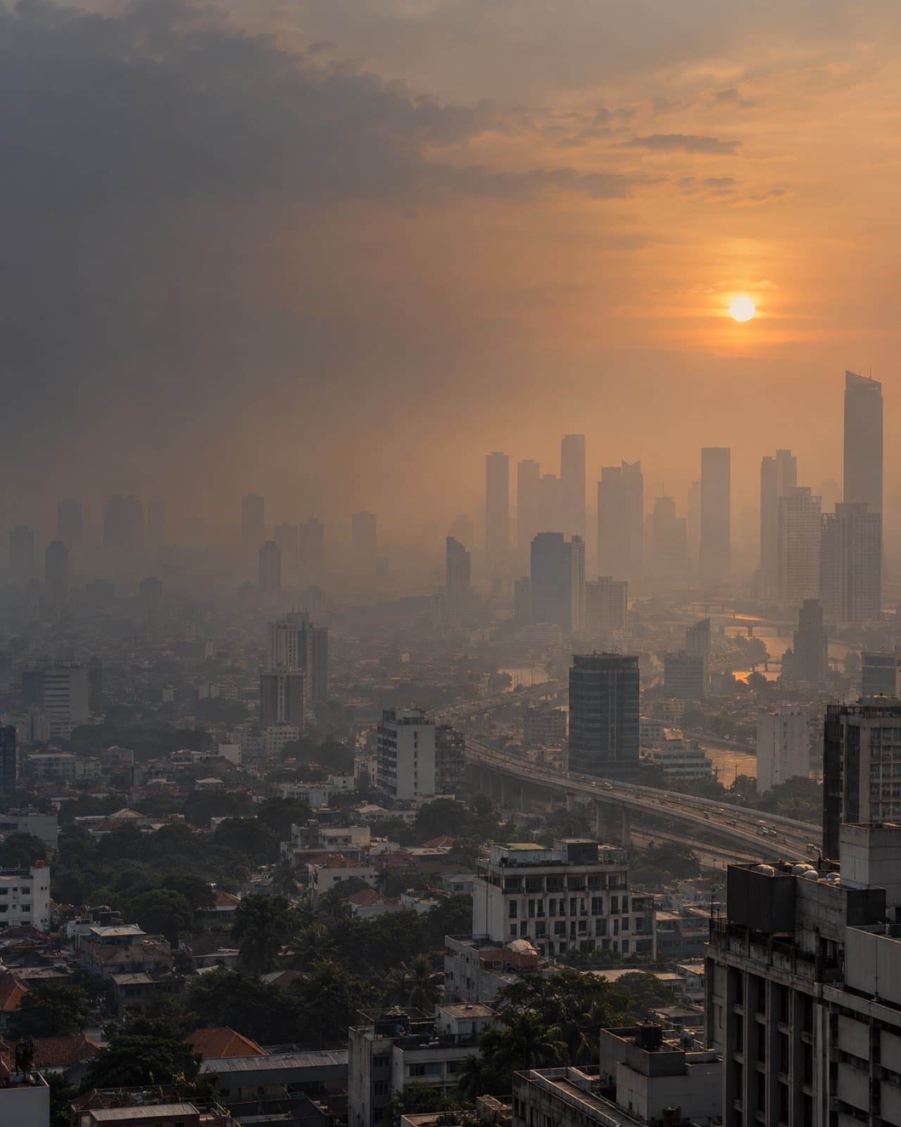
Rata-rata udara Indonesia sentuh ISPU 100, di ambang Tidak Sehat
Rata-rata nasional pada 13 Oktober menyentuh ISPU 100. Garis waktu satu bulan menunjukkan perubahannya; 164 dari 514 titik kota/kabupaten sudah bernilai 101 atau lebih.
Conditions by area
All areasAir, temperature, rain, hotspots, earthquakes and volcanoes in 514 cities and regencies. Search, filter or sort.
| Kabupaten Kutai KartanegaraKalimantan Timur | 206 | 26° | 19.9 mm | 2 | 0 | — |
|---|---|---|---|---|---|---|
| Kabupaten JombangJawa Timur | 159 | 27° | 2.6 mm | 1 | 0 | — |
| Kabupaten MojokertoJawa Timur | 159 | 28° | 4.4 mm | 0 | 0 | — |
| Kota MojokertoJawa Timur | 159 | 29° | 0.8 mm | 0 | 0 | — |
| Kabupaten Kutai BaratKalimantan Timur | 149 | 26° | 5.1 mm | 0 | 0 | — |
| Kabupaten BloraJawa Tengah | 140 | 27° | 4.2 mm | 0 | 0 | — |
| Kabupaten PurwakartaJawa Barat | 130 | 28° | 3.9 mm | 0 | 0 | — |
| Kabupaten SubangJawa Barat | 130 | 28° | 5.3 mm | 0 | 0 | — |
| Kabupaten GresikJawa Timur | 129 | 28° | 3.1 mm | 0 | 0 | — |
| Kabupaten LamonganJawa Timur | 129 | 28° | 4.2 mm | 0 | 0 | — |
Air: CAMS model estimate, 24-hour mean. Temperature and rain: today's Open-Meteo forecast. Hotspots: NASA FIRMS, 24 hours inside the area. Earthquakes: BMKG, 24 hours within 100 km of the area's centre. Volcano: highest PVMBG status in the area.